

GAP Trail Topographic Map Print
GAP Trail Topographic Map Print
Ready within 5 business days
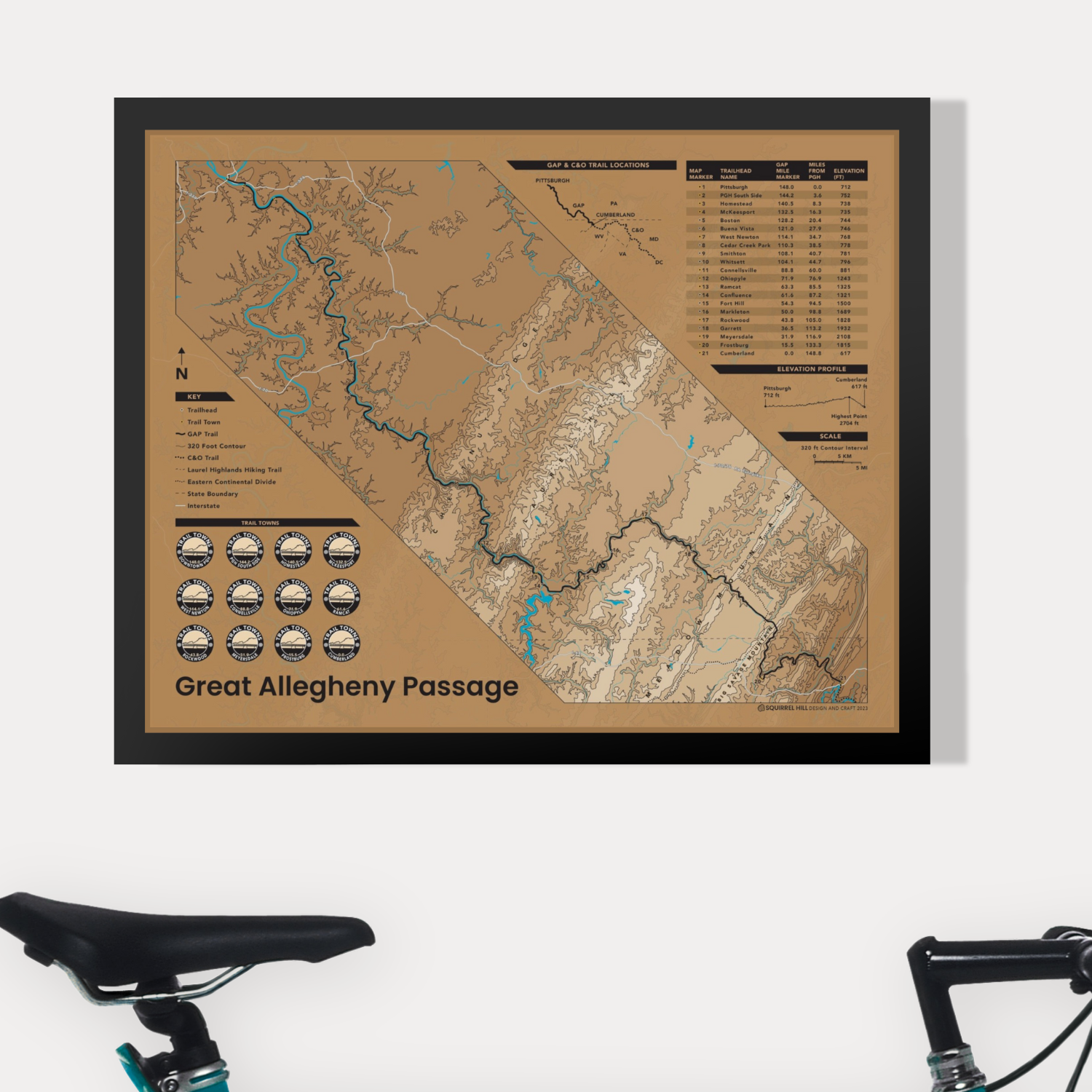
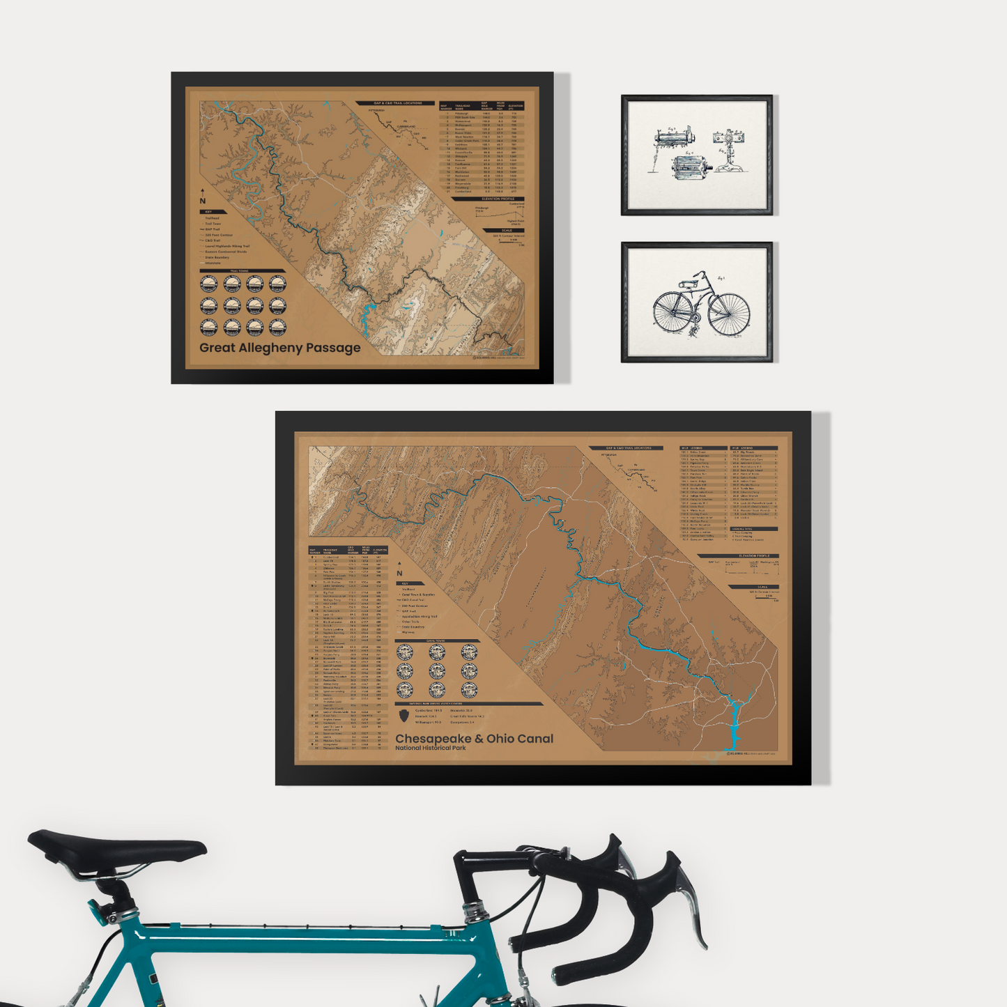
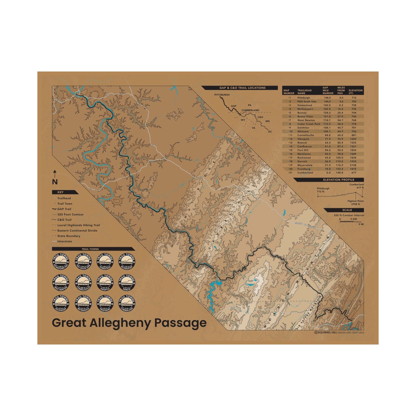
Introducing the GAP Trail Push Pin Map: The perfect companion for adventure seekers embarking on a journey of exploration who want to mark their progress along the iconic Great Allegheny Passage (GAP) Trail. This unique and interactive map is ideal for cyclists, hikers, and nature lovers alike. Pair it with the matching C&O Map to complete the set!
The map measures 16"x20", and we designed it with precision and attention to detail from corner to corner. It is available on its own as a poster or as a push-pin map ready to hang in a classic black frame—perfect for any home or office. It features elevation and distance information, making planning your next trip even easier. Each push-pin map comes with a mix of colored pins, allowing you to mark the locations you have visited or plan to explore.
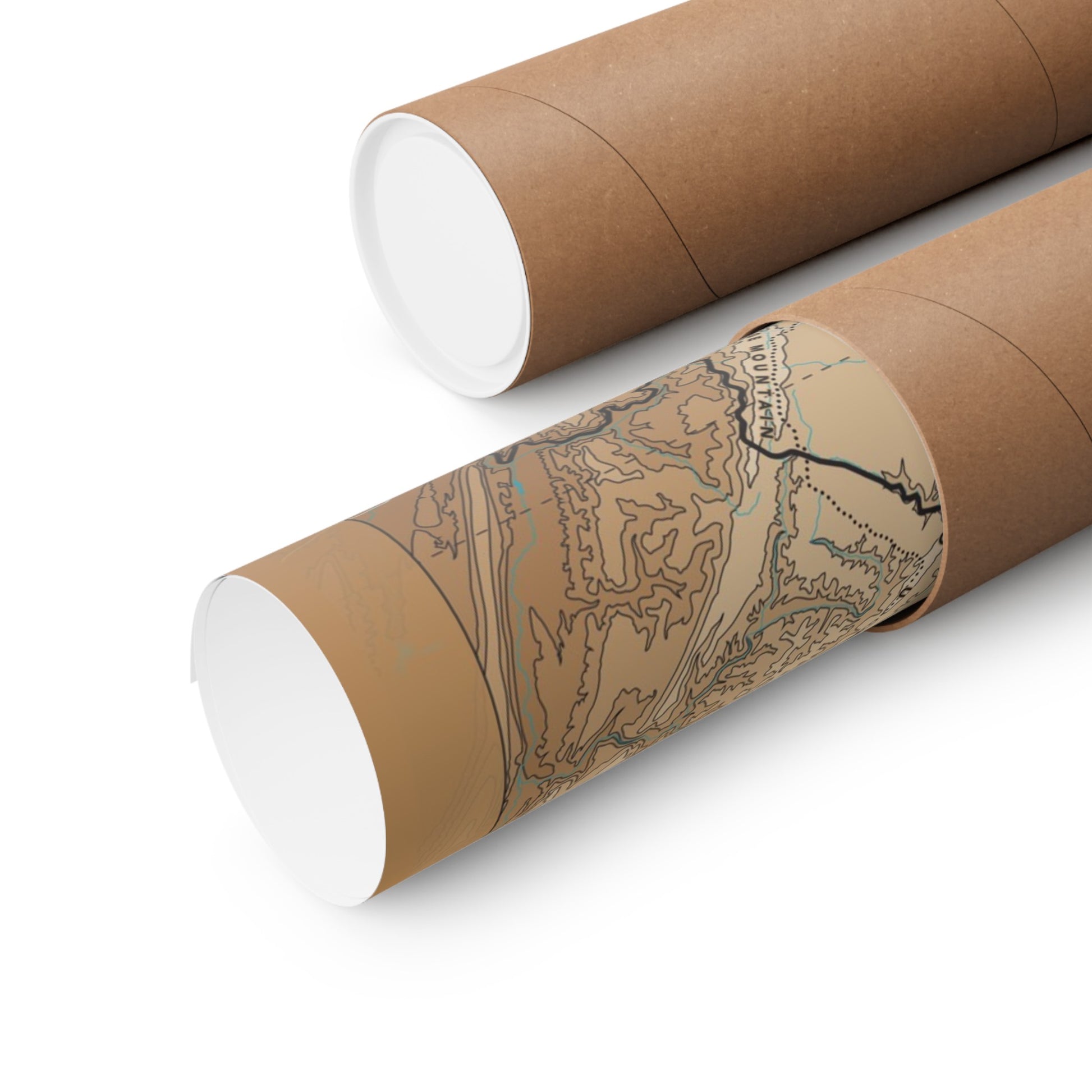
Unframed prints are printed on Hanji, a specialty acid free paper made of mulberry fibers
Whether it's conquering the challenging hills of the Allegheny Mountains, exploring the idyllic Ohiopyle State Park, or reaching the trail's ends in Cumberland and Pittsburgh, you can proudly showcase your route on this special map.
Please browse our full collection of unique maps.
Share


GAP Trail Push Pin Map & Poster