Frick Park Topographic Map with Fuzz
The Allegheny and Monongahela rivers converge and form the Ohio River at Point State Park in downtown Pittsburgh. Our namesake comes from one of the city’s 90 neighborhoods. Squirrel Hill, a beautiful area on the eastern edge of the city limits, is home to the largest of the city’s five city parks, Frick Park. Established from land bequeathed upon Henry Clay Frick’s death in 1919, the park didn’t open until 1927. Over the years it has expanded and now encompasses 644 acres, or roughly 1 square mile. One of the most tranquil and quiet places in the city, the park is home to woodpeckers, deer, black snakes, and many other creatures.
This map features our delicate groundcover mix adhered to show the park boundaries.
Share

Highlights
Handcrafted by third-generation artist/cartographer, Erin Cridlebaugh, in Pittsburgh. Layers of FSC-certified american grown maple or cherry wood are precision cut and stacked by hand to reveal true to life landscape.
Collapsible content
Details
- Modern black frame without glass
- Wood grain varies from one map to another
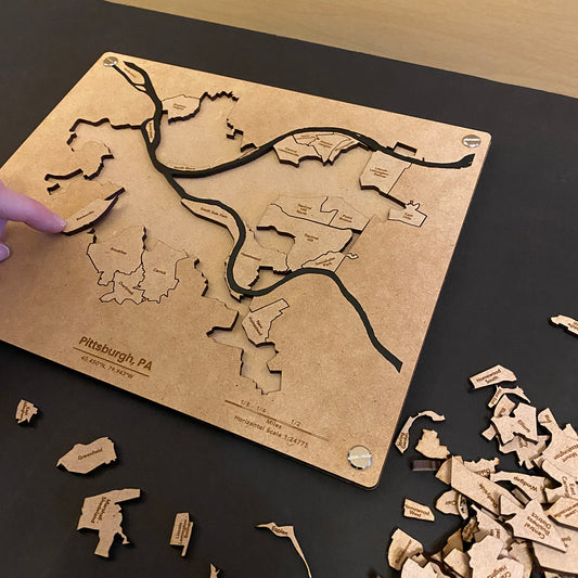
Our Most Popular Maps
-
Greater Pittsburgh Area Puzzle Map
12 reviewsRegular price $90Regular priceUnit price / perSale price $90 -
Pittsburgh Neighborhoods Puzzle Map
3 reviewsRegular price $60Regular priceUnit price / perSale price $60 -
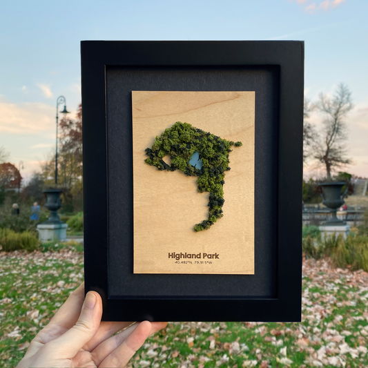
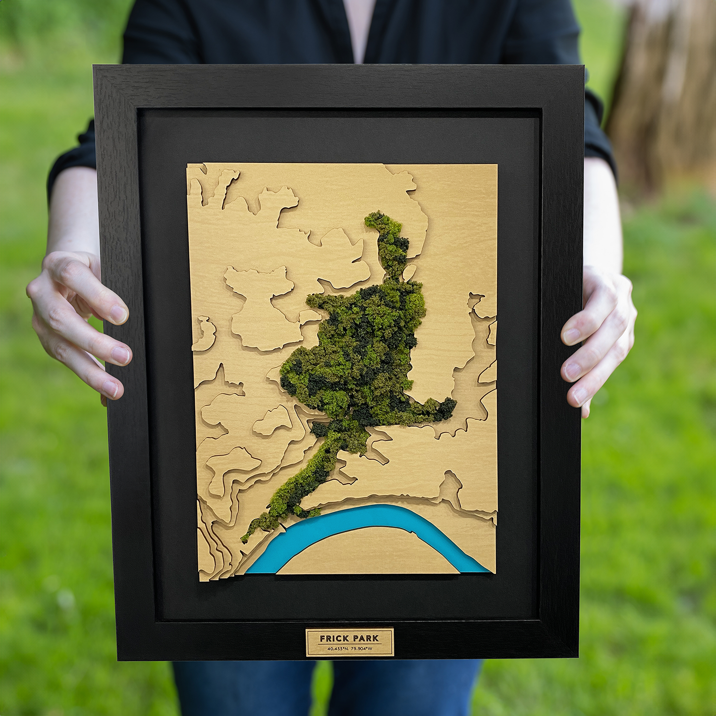
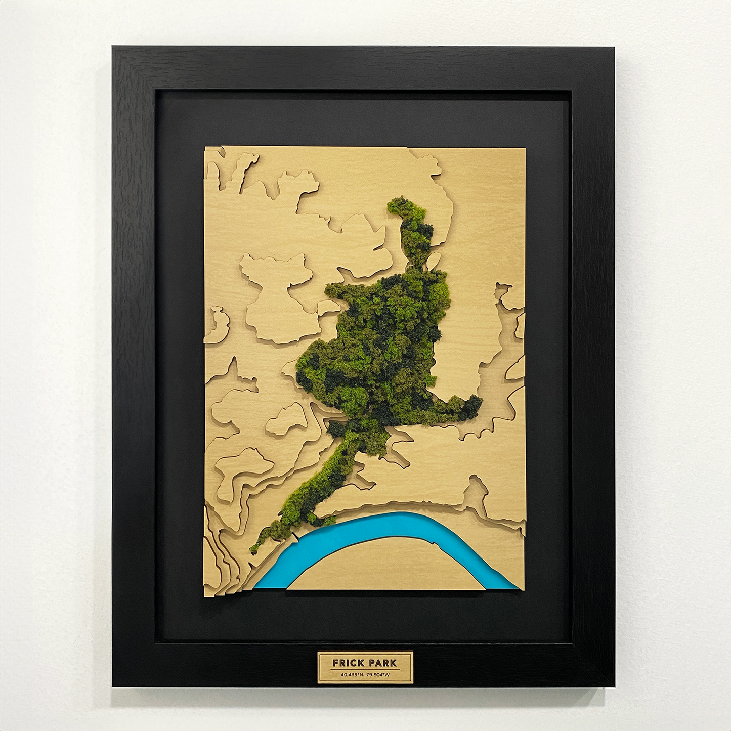
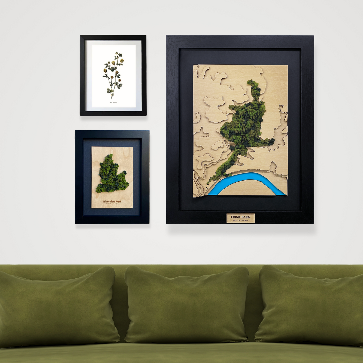
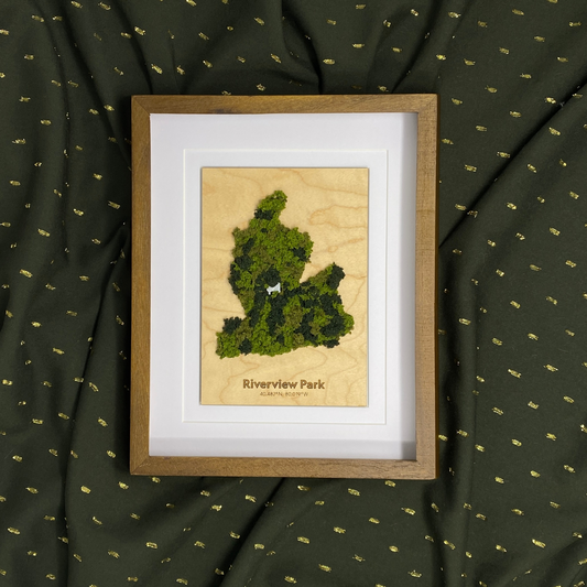
Parks and Green Spaces Framed Mini Maps
1 reviewRegular price $60 — $80Regular priceUnit price / perSale price $60 — $80 -
Sold outFluffy Park Maps
1 reviewRegular price $80 — $100Regular priceUnit price / perSale price $80 — $100Sold out