Moraine State Park Topographic Map Print
Moraine State Park Topographic Map Print
Pair an ornament with any print for $10. Discount applied automatically at checkout.
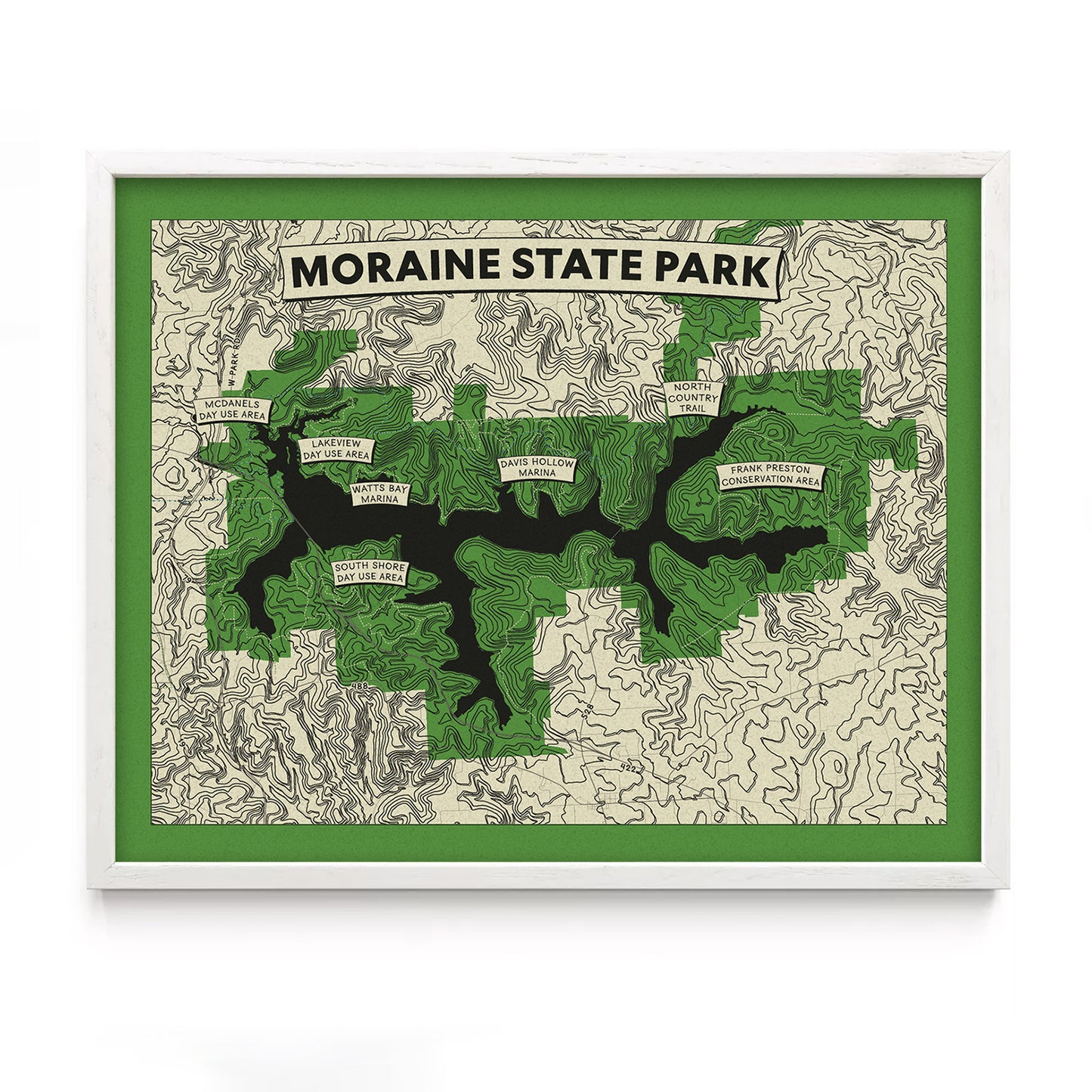
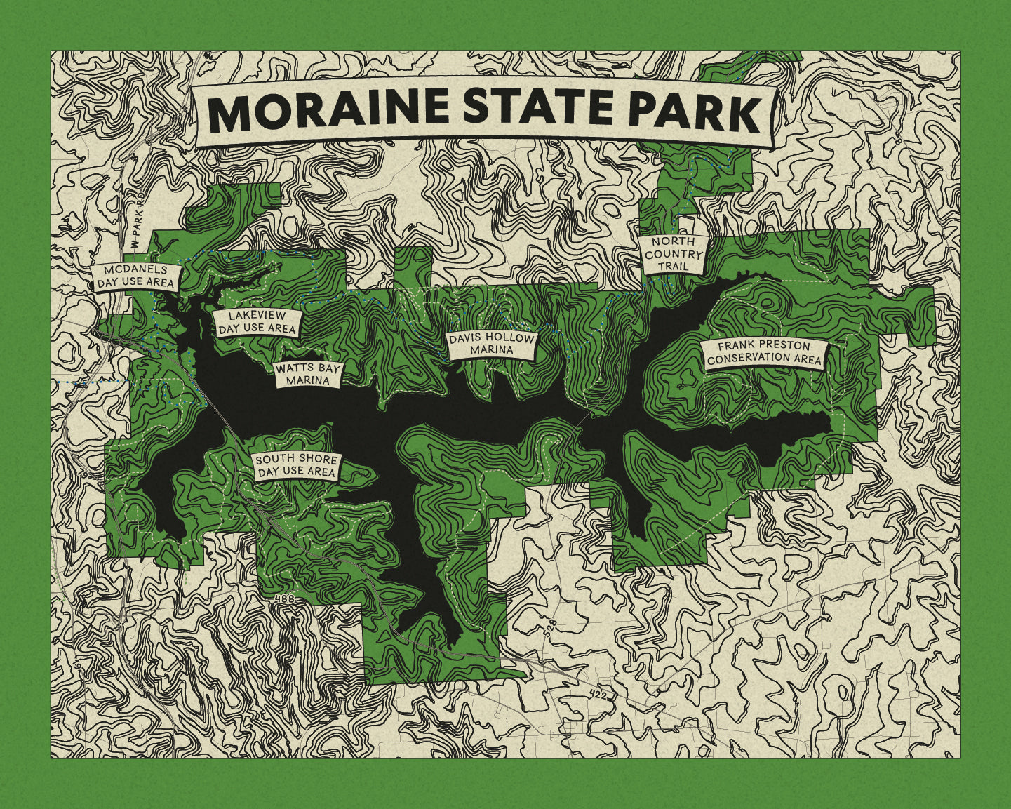
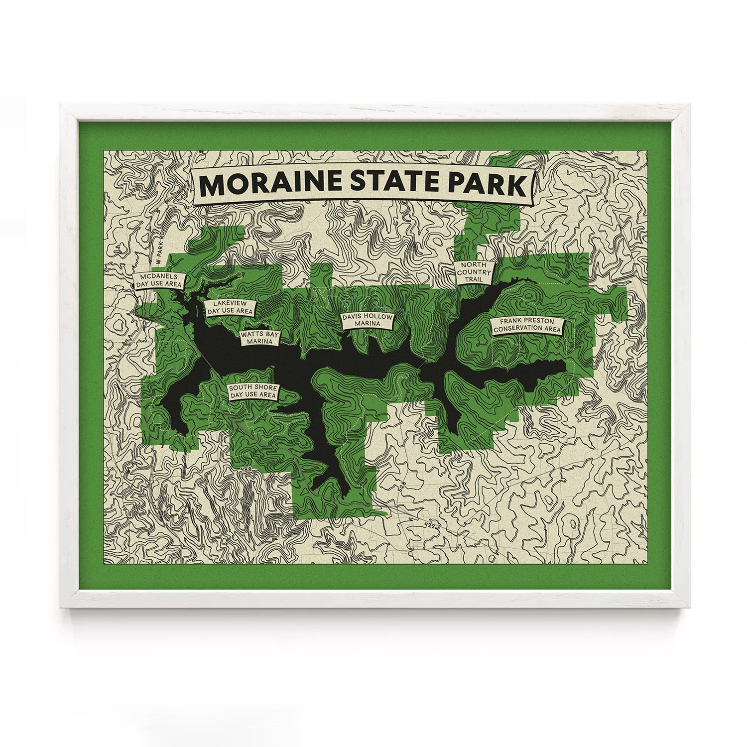
Moraine State Park is a place of balance—rolling hills, serene lake views, and trails for every mood. This map captures the park’s rich terrain, from the curves of Lake Arthur to the forested paths that invite adventure.
Bring your favorite neighborhood, park, or city home with our new topographic map prints—designed with precision and care by our very own third-generation cartographer, Erin.
Perfect for hikers, runners, nature nerds, map lovers, new homeowners, proud Pittsburghers, and anyone who gets a little misty-eyed thinking about “their spot.”
Our topographic map prints are sold unframed and comes in three standard frame sizes, with additional sizes available by request:
8" x 10": Image Size 7" x 9", Paper Size 8" x 10"
11" x 14": Image Size 9.5" x 12.5", Paper Size 11" x 14"
18"x24": Image Size 15"x21", Paper Size 18"x24"
Each print features:
Location Banner across the top, showcasing the place that matters most to you.
Topographic Lines with a 3D effect, highlighting the changes in elevation.
Roads, with major roads labeled for reference. 11"x14" and larger prints include additional labels.
Points of Interest, marking key landmarks and popular spots.
Trails for the outdoor adventurer, including the iconic North Country Trail.
Printed with care in Pittsburgh
8"x10" and 11"x14" sizes are printed on 65# uncoated coverstock.
Larger sizes are printed on Noori Hanji, a specialty acid free paper made of mulberry fibers
Designed with enough open border around the map so you can frame it as-is or add a matte for a custom look.
Photos may show the print in a frame for display inspiration. Your print will arrive unframed.
Share
