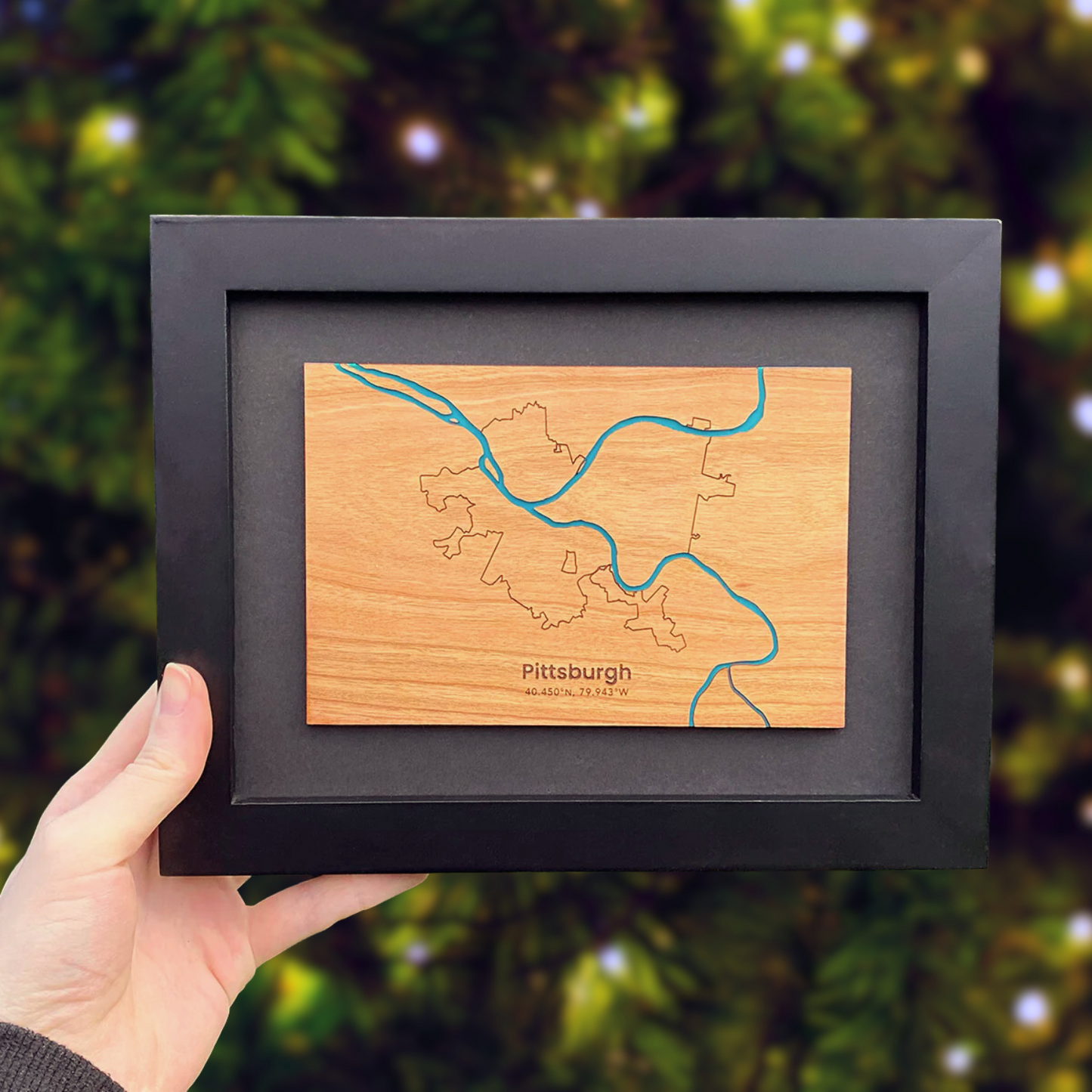
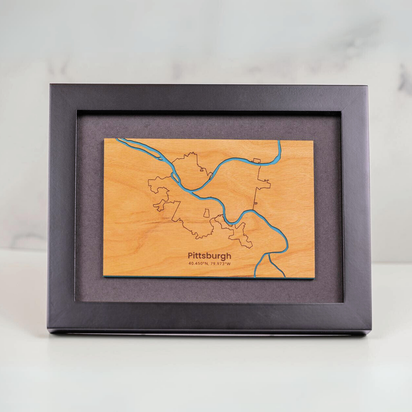
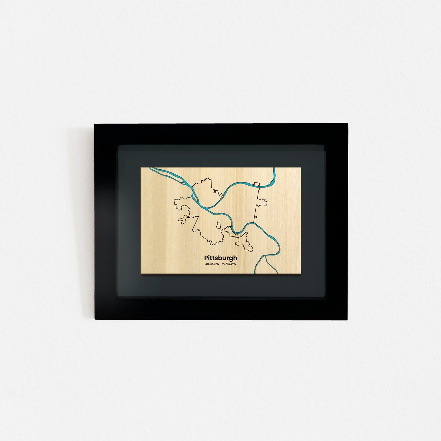
Pittsburgh Framed Mini Map
Pittsburgh Framed Mini Map
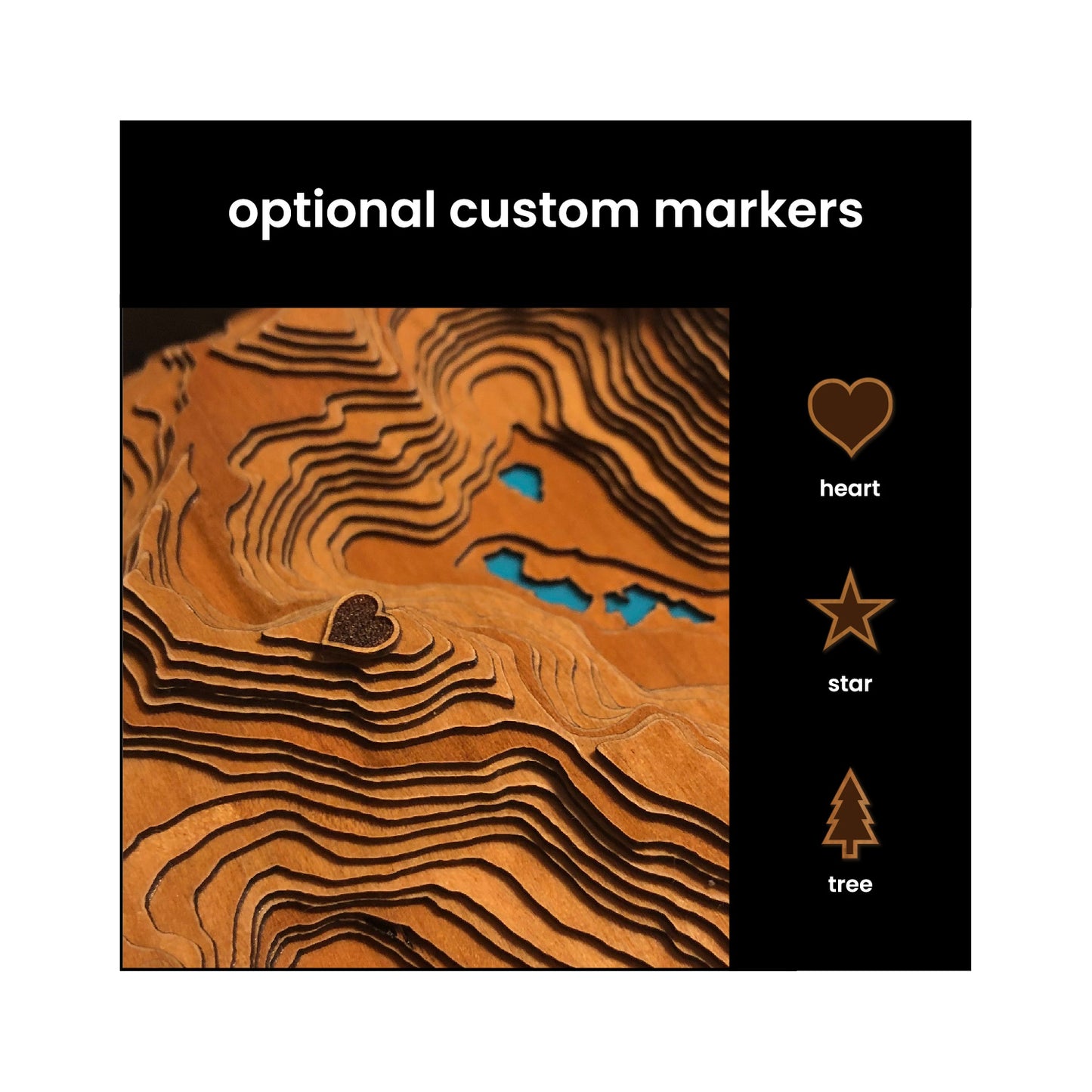
Show off your new house, where you got married, or where you grew up! Add up to 3 custom markers to the map by filling out the form above. The first marker is $10, while the second and third are $5 each.
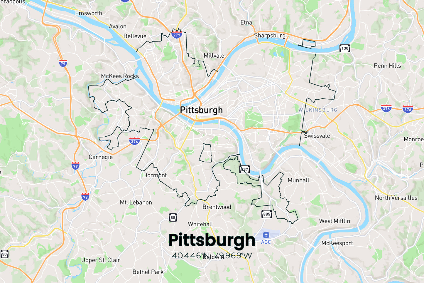
Check to make sure your custom location is within the map boundaries & get coordinates by viewing the interactive footprint of the map here:
https://www.google.com/maps/d/u/0/edit?mid=1mM-sGcGsV57_Lprq5ZwWovz_9uYMoKs&usp=sharing
The Allegheny and Monongahela rivers converge and form the Ohio River at Point State Park in downtown Pittsburgh. Nicknamed the City of Bridges, 446 bridges cross the rivers and span across its many valleys. Our namesake comes from one of the city’s 90 neighborhoods. Squirrel Hill, a beautiful area on the eastern edge of the city limits, is home to the largest of the city’s five city parks, Frick Park.
Product Info
Our framed mini maps are made by cutting out and finishing a thin layer of either cherry or maple wood. We then mount it to a teal acrylic backer before framing it.
These maps are professionally framed on a black backer using all acid free, archival quality materials in a 6″ x 8″ modern black frame without glass.
Because these maps are handmade out of thin layers of wood, the woodgrain will vary from one map to another and we encourage you to avoid hanging them in potentially damp areas.
Share
