Skip to product information
1 of 5

Laurel Hill, PA State Park Topographic Map Art Print

Laurel Hill, PA State Park Topographic Map Art Print

Regular price $30
Regular price Sale price $30
Sale Sold out

Size

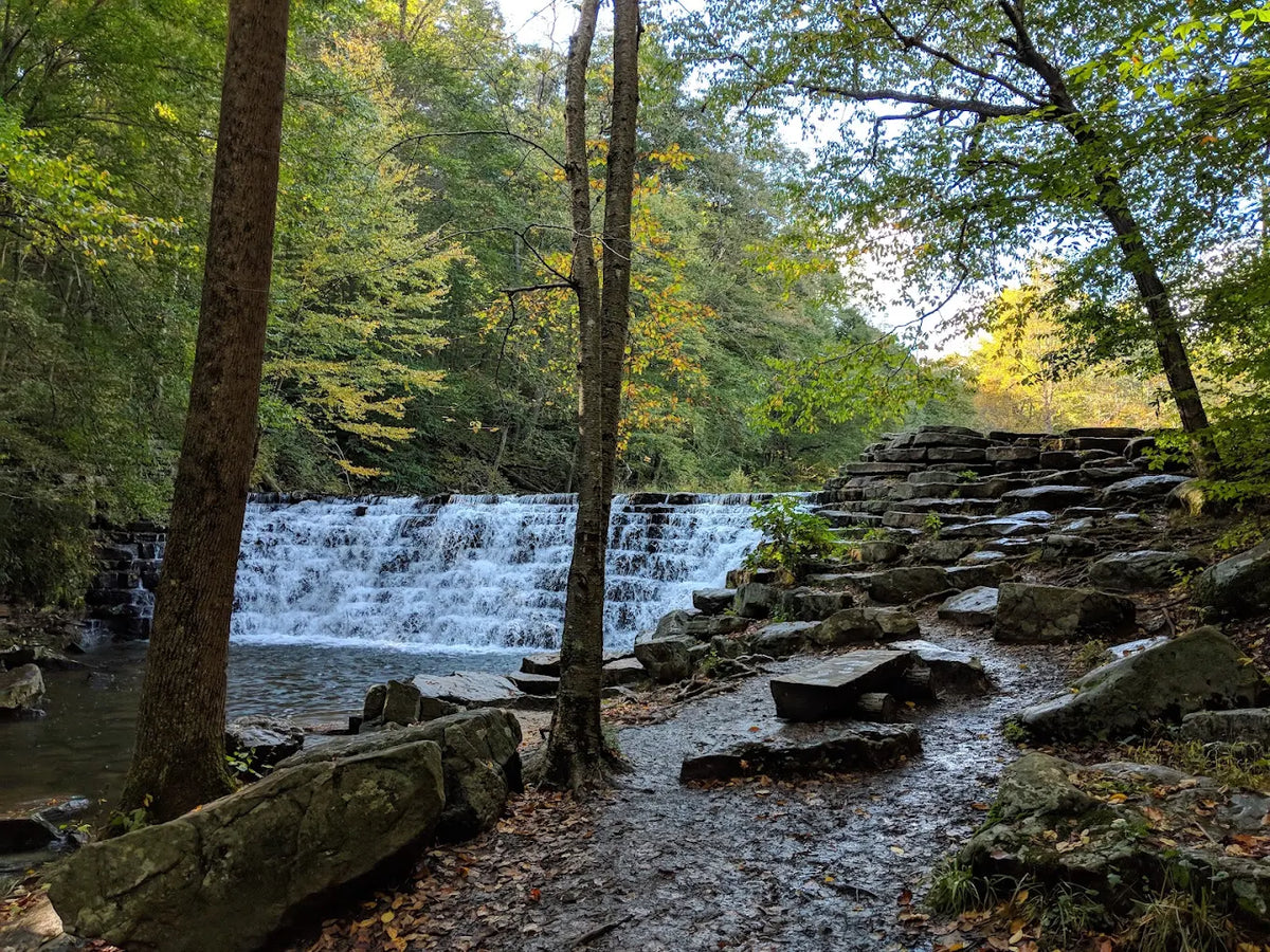
Tucked into the mountains of Somerset County, Laurel Hill State Park encompasses more than 4,000 acres of forested hills, winding streams, and quiet valleys in Pennsylvania’s Laurel Highlands. Centered around the 63-acre Laurel Hill Lake, the park offers wooded trails, lakeside recreation, and the Hemlock Trail Natural Area, where towering old-growth hemlocks have stood for generations. Surrounded by extensive state forest lands, Laurel Hill is a landscape shaped by mountain ridges, flowing water, and the natural beauty of southwestern Pennsylvania.

View full details

Highlights

• A personal and thoughtful way to commemorate important places.
• Easy to frame and display in any space.
• Designed by our third-generation cartographer, Erin Cridlebaugh and printed in Pittsburgh.

Collapsible content

Details

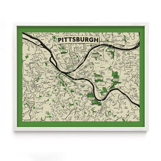
  • Neighborhoods, parks, and cities depicted through carefully rendered elevation, geography, and landmarks.
  • 8" x 10" and 11" x 14" sizes are printed on 65lb uncoated cover stock and sold unframed
  • Larger sizes are printed on canvas with wood magnetic hanging rails

Dimensions

Standard size prints with generous open borders allow for framing with or without a mat.

  • 8" × 10"
    Image: 7" × 9"
    Paper: 8" × 10"

  • 11" × 14"
    Image: 9.5" × 12.5"
    Paper: 11" × 14"

  • 18" × 24"
    Image: 15" × 21"
    Canvas: 18" × 24"

  • Additional sizes available by request.


Recently Viewed