
Highlights
Our Most Popular Prints
-
Allegheny County, PA Topographic Map Art Print
Regular price $20 — $75Regular priceUnit price per -
Oakland, Pittsburgh Topographic Map Art Print
Regular price $20 — $75Regular priceUnit price per -
North Park, PA Topographic Map Art Print
Regular price $20 — $75Regular priceUnit price per -
Sharpsburg, PA Topographic Map Art Print
Regular price $20 — $75Regular priceUnit price per


Best Selling Maps
-
-
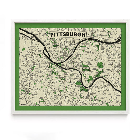
Pittsburgh Neighborhoods Topographic Map Art Print
Regular price $20 — $75Regular priceUnit price per -
-
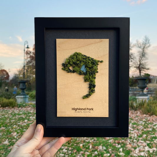
Parks and Green Spaces Framed Mini Maps
Regular price $60 — $80Regular priceUnit price per