
Skip to product information
1 of 5

Swissvale, Pittsburgh Topographic Map Art Print

Swissvale, Pittsburgh Topographic Map Art Print

Regular price $30
Regular price Sale price $30
Sale Sold out

Size

Just east of Pittsburgh, Swissvale sits along the hills overlooking the Monongahela River, connecting the city’s East End with the communities of the eastern suburbs. Shaped by steep streets, historic homes, and its roots as a railroad community, the borough blends residential neighborhoods, local businesses, and easy access to nearby Frick Park into a small community closely tied to the landscape and history of the region.

View full details

Highlights

• A personal and thoughtful way to commemorate important places.
• Easy to frame and display in any space.
• Designed by our third-generation cartographer, Erin Cridlebaugh and printed in Pittsburgh.

Collapsible content

Details

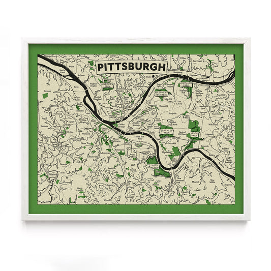
  • Neighborhoods, parks, and cities depicted through carefully rendered elevation, geography, and landmarks.
  • 8" x 10" and 11" x 14" sizes are printed on 65lb uncoated cover stock and sold unframed
  • Larger sizes are printed on canvas with wood magnetic hanging rails

Dimensions

Standard size prints with generous open borders allow for framing with or without a mat.

  • 8" × 10"
    Image: 7" × 9"
    Paper: 8" × 10"

  • 11" × 14"
    Image: 9.5" × 12.5"
    Paper: 11" × 14"

  • 18" × 24"
    Image: 15" × 21"
    Canvas: 18" × 24"

  • Additional sizes available by request.


Recently Viewed