Skip to product information
1 of 3

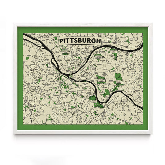
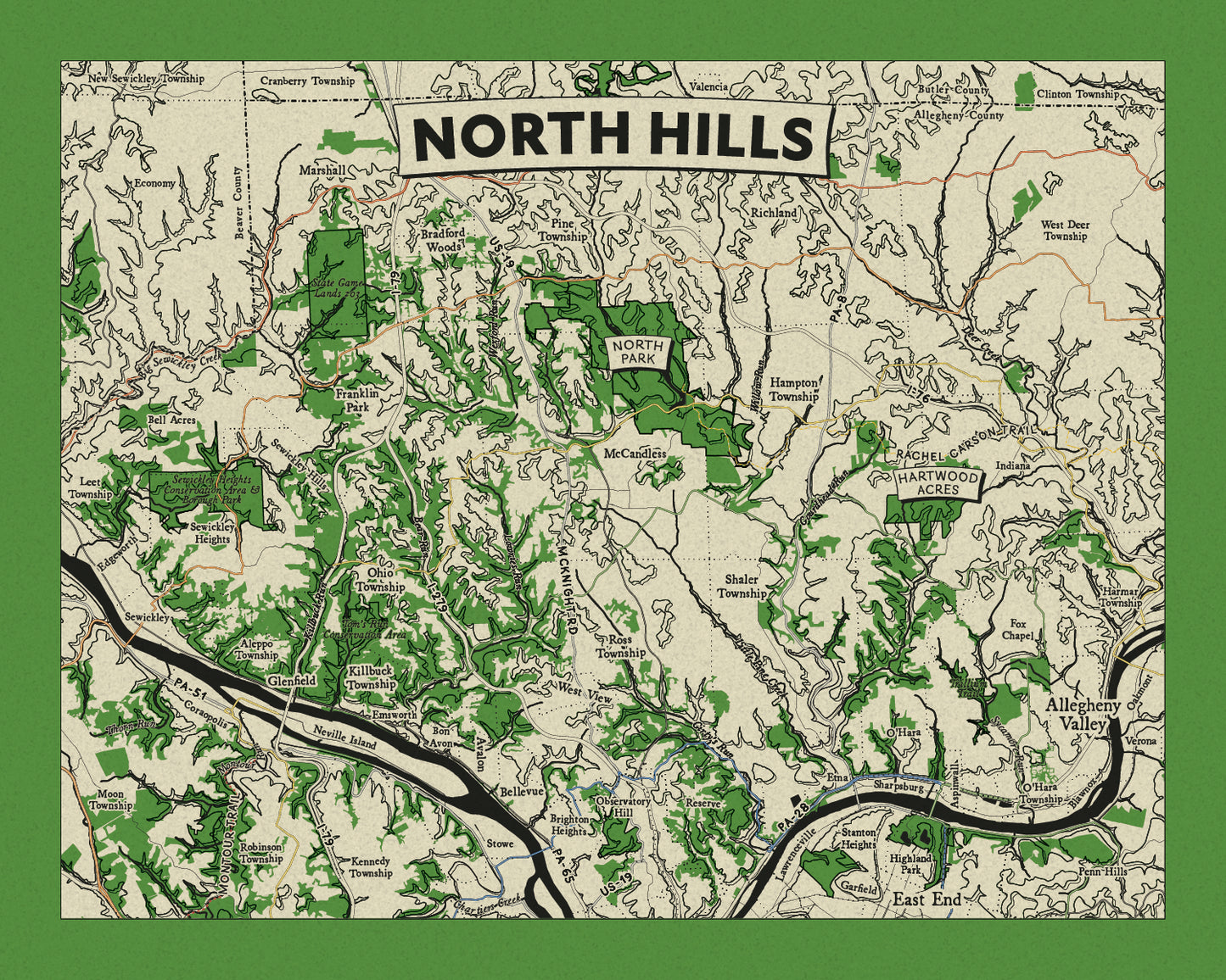
North Hills, Pittsburgh Topographic Map Art Print

North Hills, Pittsburgh Topographic Map Art Print

Regular price $30
Regular price Sale price $30
Sale Sold out

Only 8 left!

Size

North of the city, the North Hills rises along the corridors that shape everyday movement and identity. Guided by McKnight Road, threaded by 279 and bordered by Route 8 and 79, the region is a mix of established suburbs, wooded parks, and recognizable gathering spots.

View full details

Highlights

• A personal and thoughtful way to commemorate important places.
• Easy to frame and display in any space.
• Designed by our third-generation cartographer, Erin Cridlebaugh and printed in Pittsburgh.

Collapsible content

Details

  • Neighborhoods, parks, and cities depicted through carefully rendered elevation, geography, and landmarks.
  • 8" x 10" and 11" x 14" sizes are printed on 65lb uncoated cover stock
  • Larger sizes are printed on hanji, an acid-free speciality paper made from mulberry fibers.
  • All prints are sold unframed.

Dimensions

Standard size prints with generous open borders allow for framing with or without a mat.

  • 8" × 10"
    Image: 7" × 9"
    Paper: 8" × 10"

  • 11" × 14"
    Image: 9.5" × 12.5"
    Paper: 11" × 14"

  • 18" × 24"
    Image: 15" × 21"
    Paper: 18" × 24"

  • Additional sizes available by request.


Recently Viewed